
Brito
Well-Known Member
- Thread starter
- #1
Palo Duro State Park and Merus Adventure area trip
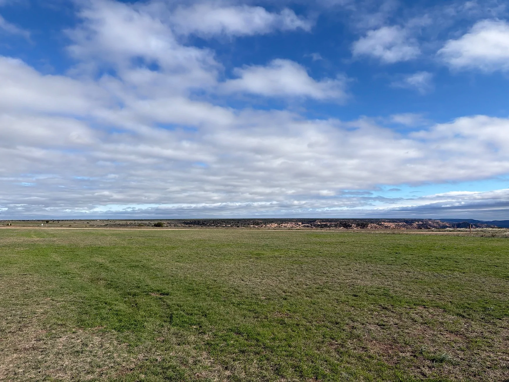
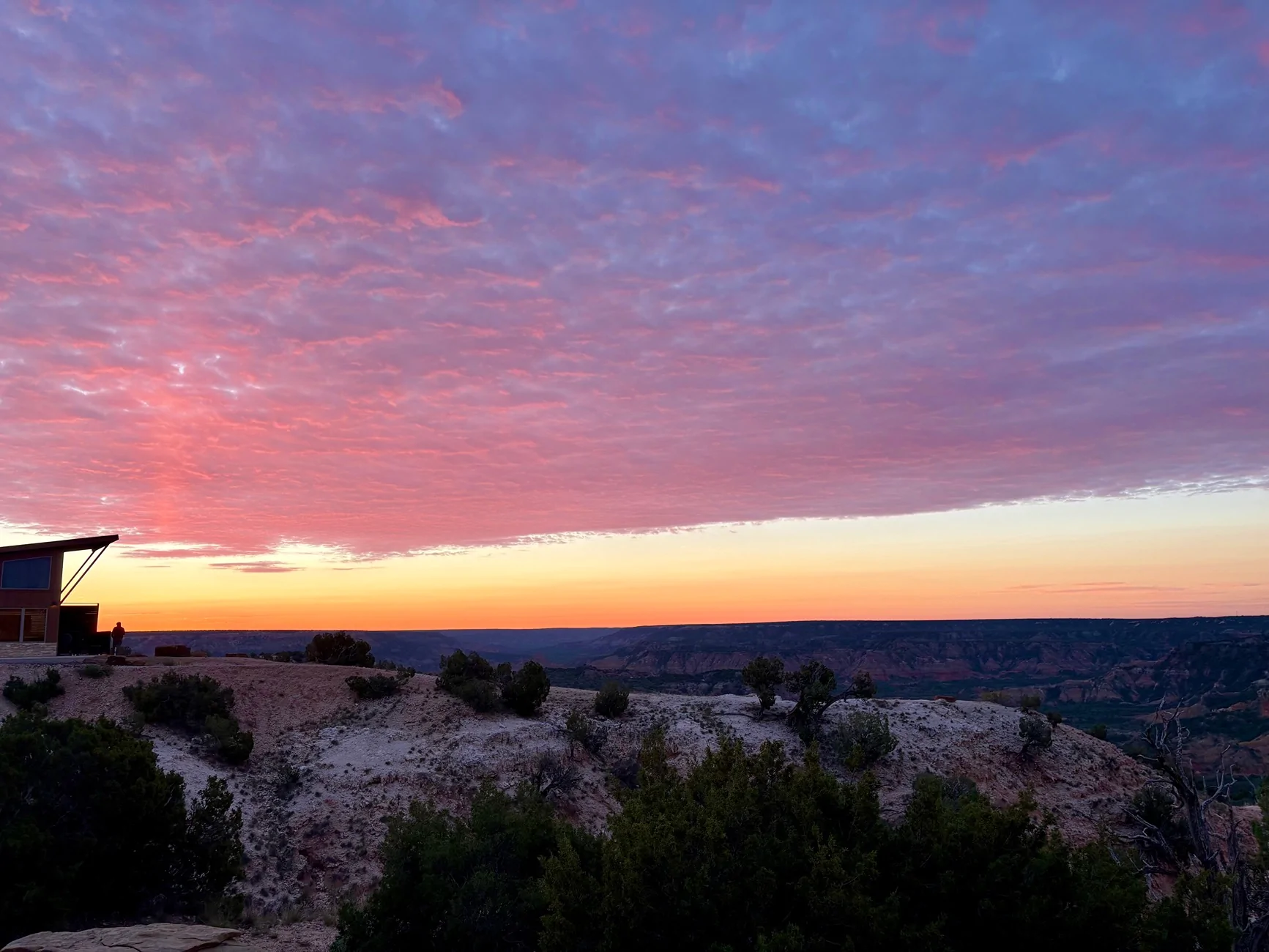
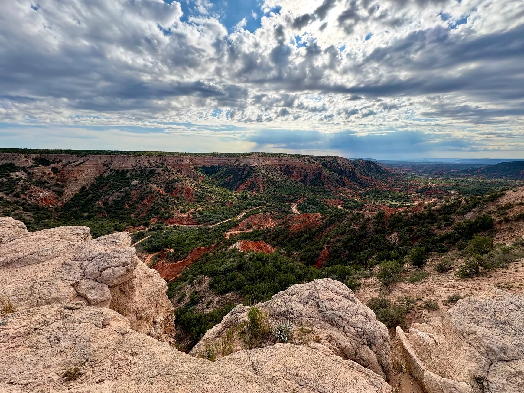
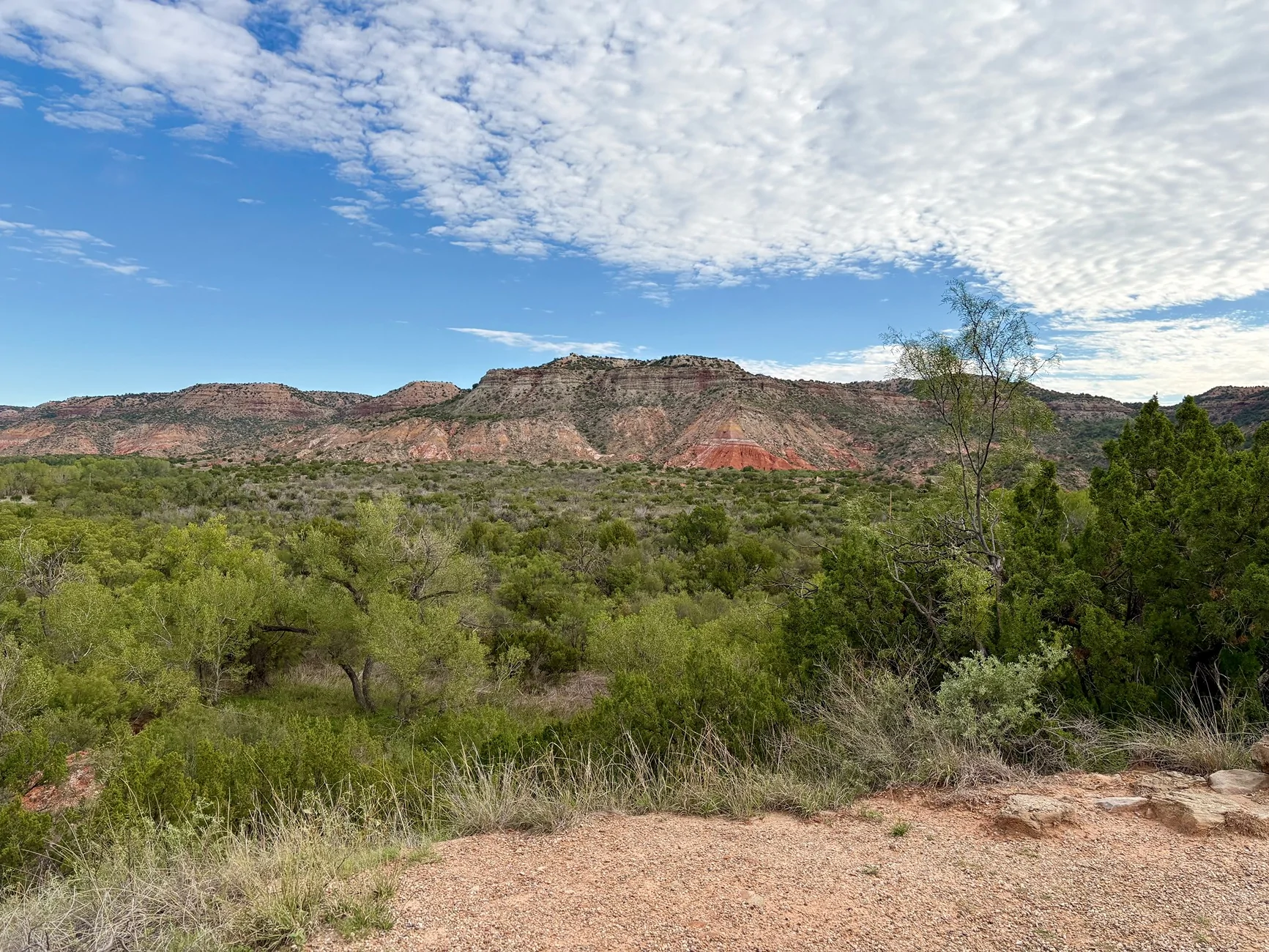
We took a road trip from the Dallas area to Palo Duro Canyon (southeast of Amarillo in the Texas Panhandle) from October 18-21. The area is remote high plains until you get to the canyon and surrounding area.
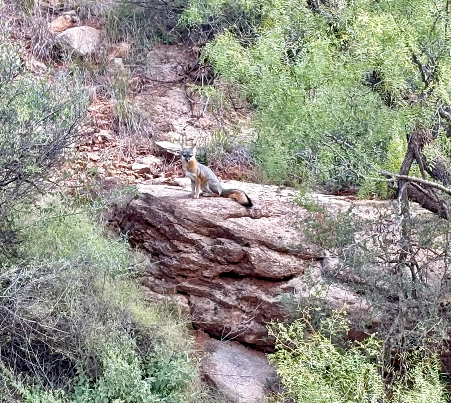
The state park is beautiful, but most of the hiking trails were closed due to recent rains and there were signs of major flash flooding including heavy equipment used to move mud off the paved roads. Interestingly, the state park contains the Prairie Dog Town Fork of the Red River, and being in the basin of the canyon, can cause major flash flooding with high water crossings throughout the park. We didn’t encounter flooding, but the signs of serious flooding the week before definitely left its mark. The gray fox in the photos was in the park.
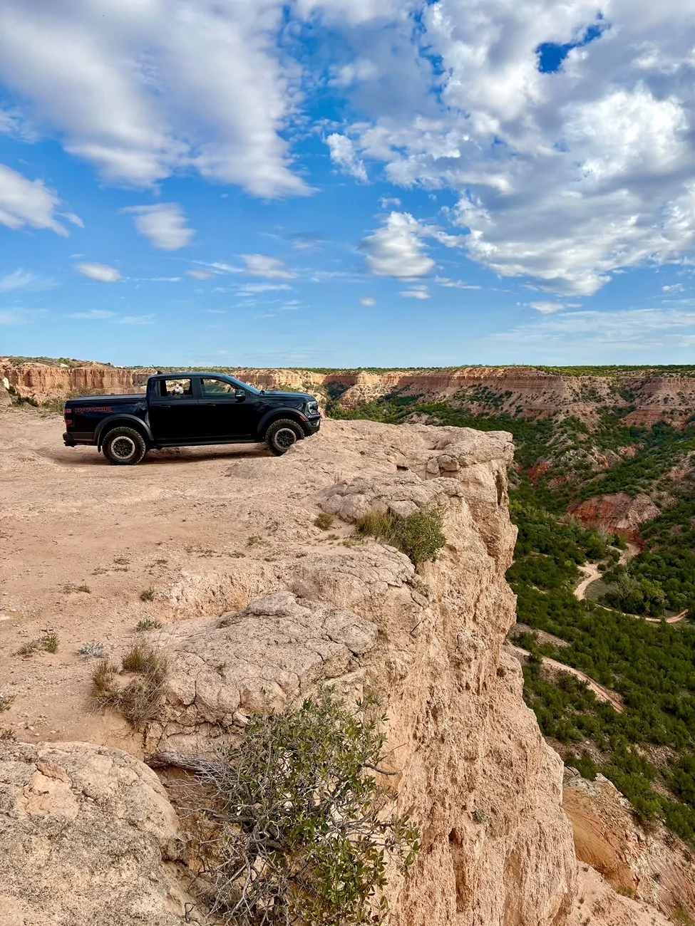
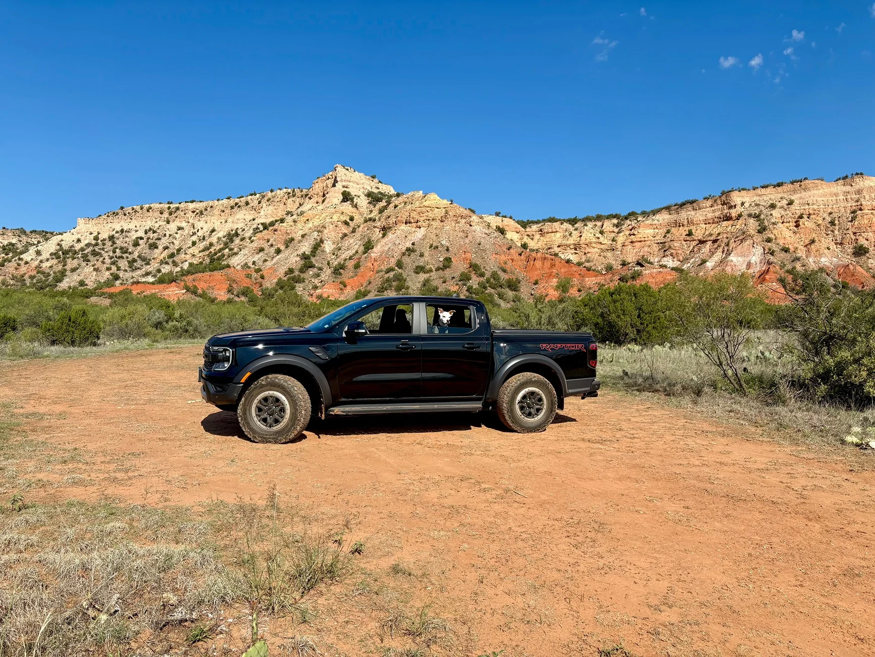
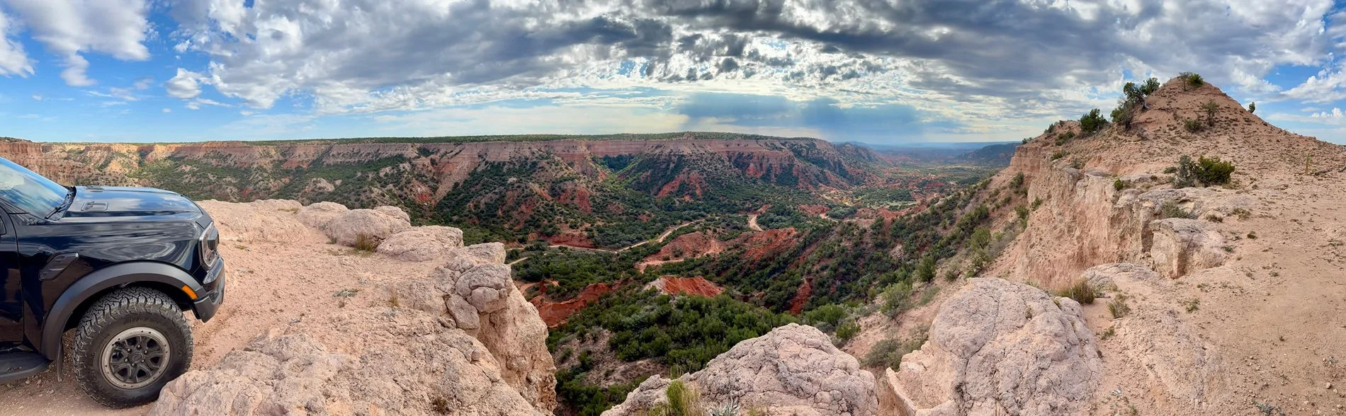
The next day we went to spend about 5 hours at the Merus Adventure area. Merus doesn’t have a branch of the river, nor does it close any trails. They just state that when embarking on a trail be advised that if there has been recent rains, the trail difficulties increase accordingly. Merus was spectacular. In hindsight I regretted not spending more time there. Merus is equally remote, taking us about an hour to drive from our AirBnB. Merus has cabins and RV sites on property as well. They do not have food or drinks on weekdays. On weekends they have drinks available, but be sure to pack in an appropriate amount of water and food. The basin may be 15-20 degrees warmer than the rim. The day we were there temperatures ranged from 55-79 degrees with partly cloudy skies and light winds.
Merus requires every rig to have a fire extinguisher and a GMRS radio. The radios can be rented from the front office. There is no cellular service, especially after dropping into the basin. They have a great selection of Merus souvenirs, as well as some “All Roads Taken” badges that must be geo-verified to order online, or can be bought in the office store if you’re into that like I am.
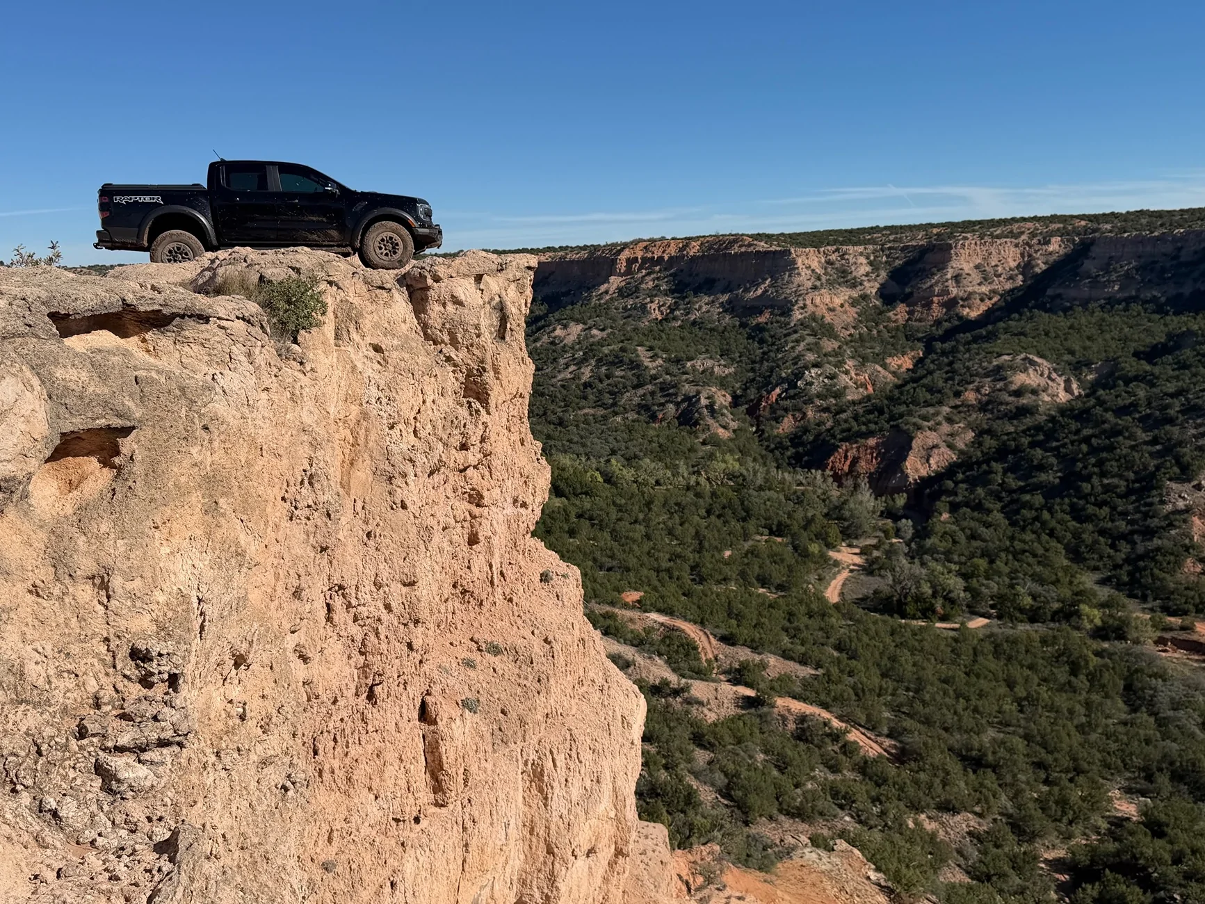
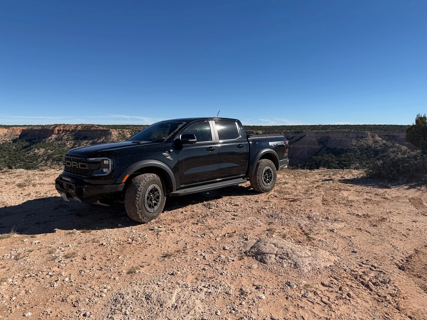
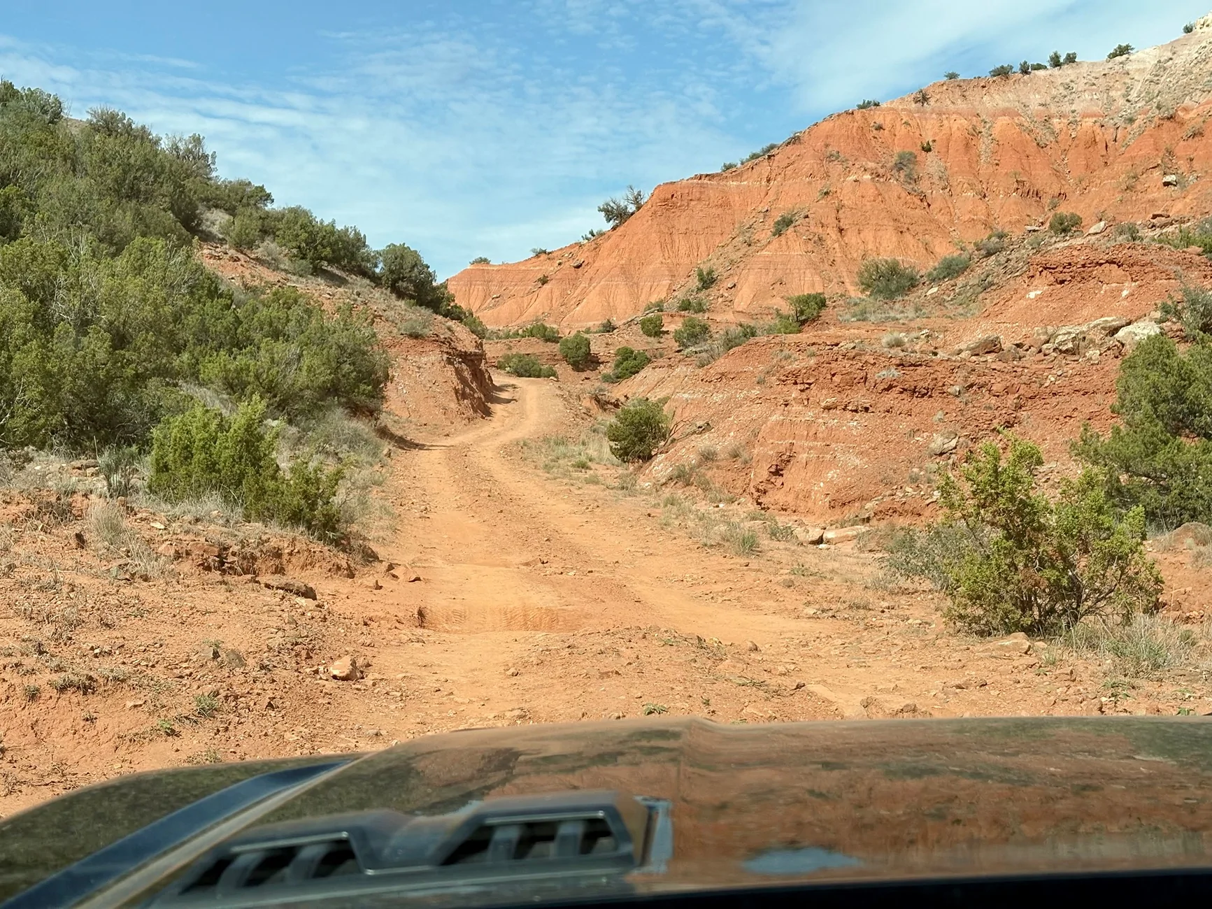
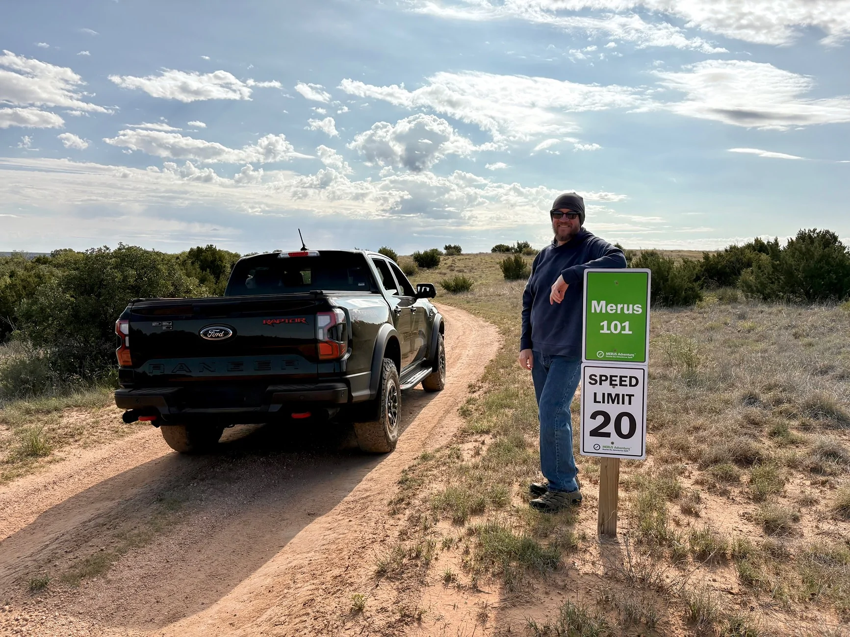
Being our first time, we stuck to the beginner trails especially since I don’t have rock sliders installed yet (but that’s my next purchase after this trip). We drove Park Road North,Park Road West, the cut-through, Hetz’s Bluff, Merus 101, and “Spicy”, which were all green “beginner” trails. All the trails were well-marked and we used the recommended “OnX” app on a free trial. A map, either digital or analog, is also required before entering.
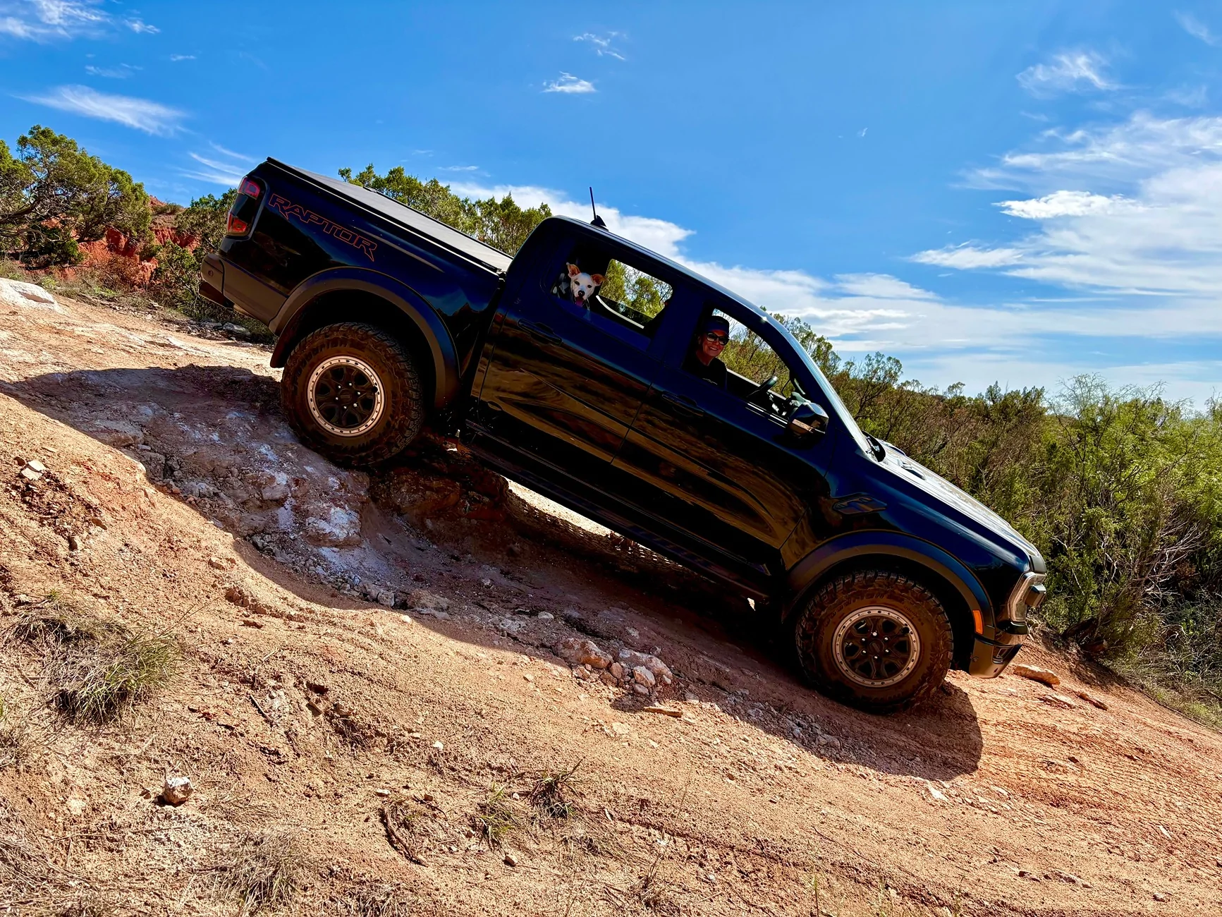
The “drop in” to Merus 101 and Landry’s Landing require the driver to announce, “Merus 101, descending, one rig” at the start since there is no room to pass once these trails are entered from the rim as well as from the basin. The trails were “Beginner” trails, but I used the rear lockers 4-5 times and the front and rear lockers once to get back up Merus 101. There are several climbs and descents that we saw 19 degrees of incline on loose rock/sand. The trail called “Spicy” convinced me that to go to the intermediate trails I would need sliders or risk damage. They were all great trails and you can tell the staff is out regularly maintaining the trails or installing new obstacles in what might otherwise be a flat or uninteresting part of the trail. New trails were under construction and at least one new trail has opened since we left.
Wildlife and livestock are plentiful if you keep an eye peeled. We took binoculars too. Stable flies are everywhere and aggressive. They will bite your ankles through socks, and even after spraying with bug spray, so wear footwear that covers your ankles or wear thick socks. As far as we could tell they don’t attack anywhere else, so they really are “ankle biters” which I had always just assumed was a term reserved for small children.
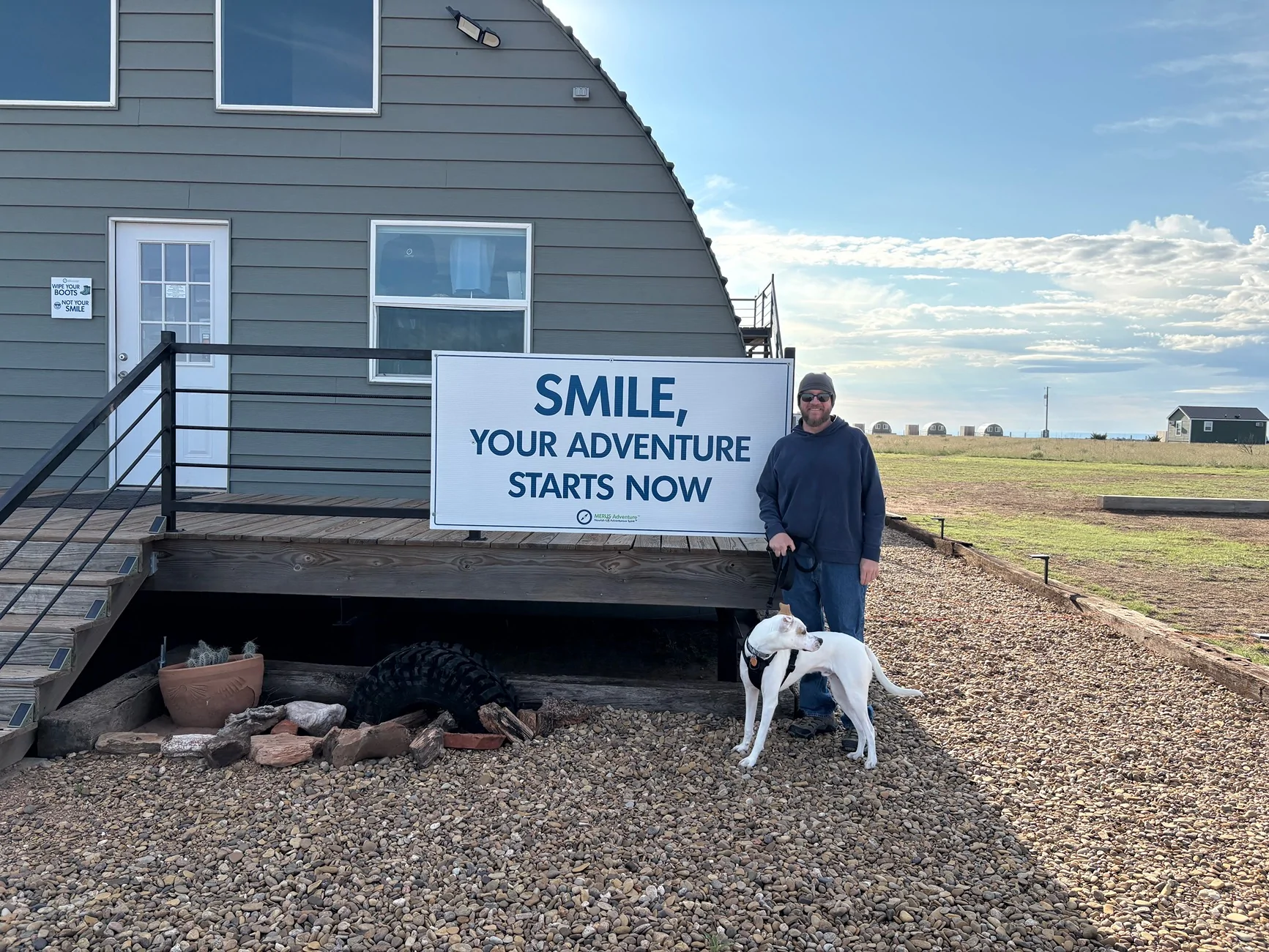
The air stations worked great with several new hoses and pressure gauges. Staff was super friendly and helpful (as was the case for everyone we encountered in that area of the state). Merus is dog-friendly, and our puppy got a treat in the office as well. I recommend the trip for the scenery alone, but the whole thing was an absolute blast.


We took a road trip from the Dallas area to Palo Duro Canyon (southeast of Amarillo in the Texas Panhandle) from October 18-21. The area is remote high plains until you get to the canyon and surrounding area.
The state park is beautiful, but most of the hiking trails were closed due to recent rains and there were signs of major flash flooding including heavy equipment used to move mud off the paved roads. Interestingly, the state park contains the Prairie Dog Town Fork of the Red River, and being in the basin of the canyon, can cause major flash flooding with high water crossings throughout the park. We didn’t encounter flooding, but the signs of serious flooding the week before definitely left its mark. The gray fox in the photos was in the park.
The next day we went to spend about 5 hours at the Merus Adventure area. Merus doesn’t have a branch of the river, nor does it close any trails. They just state that when embarking on a trail be advised that if there has been recent rains, the trail difficulties increase accordingly. Merus was spectacular. In hindsight I regretted not spending more time there. Merus is equally remote, taking us about an hour to drive from our AirBnB. Merus has cabins and RV sites on property as well. They do not have food or drinks on weekdays. On weekends they have drinks available, but be sure to pack in an appropriate amount of water and food. The basin may be 15-20 degrees warmer than the rim. The day we were there temperatures ranged from 55-79 degrees with partly cloudy skies and light winds.
Merus requires every rig to have a fire extinguisher and a GMRS radio. The radios can be rented from the front office. There is no cellular service, especially after dropping into the basin. They have a great selection of Merus souvenirs, as well as some “All Roads Taken” badges that must be geo-verified to order online, or can be bought in the office store if you’re into that like I am.
Being our first time, we stuck to the beginner trails especially since I don’t have rock sliders installed yet (but that’s my next purchase after this trip). We drove Park Road North,Park Road West, the cut-through, Hetz’s Bluff, Merus 101, and “Spicy”, which were all green “beginner” trails. All the trails were well-marked and we used the recommended “OnX” app on a free trial. A map, either digital or analog, is also required before entering.
The “drop in” to Merus 101 and Landry’s Landing require the driver to announce, “Merus 101, descending, one rig” at the start since there is no room to pass once these trails are entered from the rim as well as from the basin. The trails were “Beginner” trails, but I used the rear lockers 4-5 times and the front and rear lockers once to get back up Merus 101. There are several climbs and descents that we saw 19 degrees of incline on loose rock/sand. The trail called “Spicy” convinced me that to go to the intermediate trails I would need sliders or risk damage. They were all great trails and you can tell the staff is out regularly maintaining the trails or installing new obstacles in what might otherwise be a flat or uninteresting part of the trail. New trails were under construction and at least one new trail has opened since we left.
Wildlife and livestock are plentiful if you keep an eye peeled. We took binoculars too. Stable flies are everywhere and aggressive. They will bite your ankles through socks, and even after spraying with bug spray, so wear footwear that covers your ankles or wear thick socks. As far as we could tell they don’t attack anywhere else, so they really are “ankle biters” which I had always just assumed was a term reserved for small children.
The air stations worked great with several new hoses and pressure gauges. Staff was super friendly and helpful (as was the case for everyone we encountered in that area of the state). Merus is dog-friendly, and our puppy got a treat in the office as well. I recommend the trip for the scenery alone, but the whole thing was an absolute blast.
Sponsored


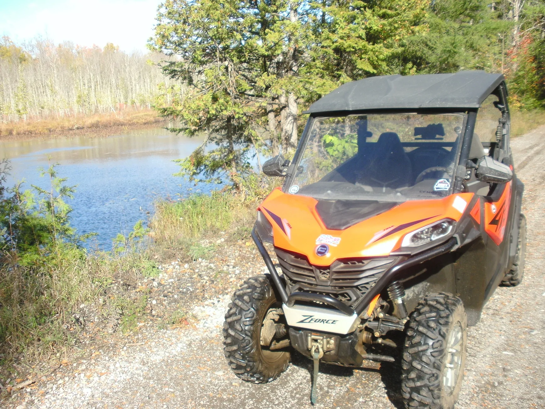
 . Not very much Crown owned land it's mostly all private or not accessible. Closes to that was a ATV trip a couple weeks ago.